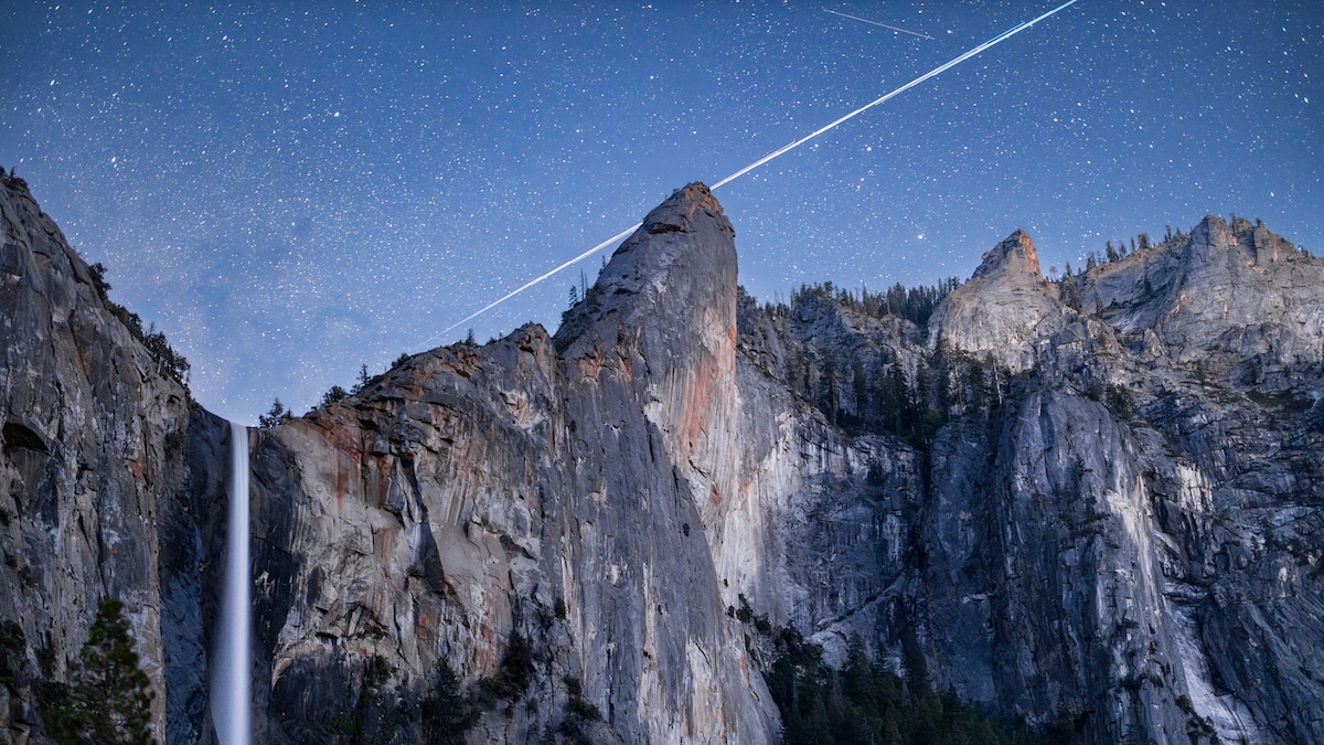
North Dome

Sight·Yosemite National ParkMentioned by National Geographic
North Dome
Photo: Wikimedia Commons
“North Dome is a granite dome in Yosemite National Park, California. It is the southernmost summit of Indian Ridge, 0.6 miles (1.0 km) north of Washington Column and the Royal Arches on the northeastern wall of Yosemite Valley. It can be reached by trail from the Tioga Pass Road, or by going up the…”
Wikipedia
Read more on Wikipedia →

In the coverage1 story

National GeographicFeb 4

Everything you should know about Yosemite National Park

Our expert guide will help you make the most of your visit to this epic California park, home to El Capitan and Half Dome. One of Yosemite National Park’s must-see natural attractions, Yosemite Falls ...

Views from the north rim require a steep uphill hike.

25 things in this story
  • Half DomeSightSummit offers panoramic views; 16-mile return hike from valley.
  • El CapitanSightFamed vertical face for climbing, views from the north rim.
  • Glacier PointSightAccessible by car, offers panoramic views of Yosemite Valley.
  • Yosemite FallsSightHighest waterfall in North America, plunges 2,425 feet.
  • Curry VillageNeighborhoodOffers cabins, tent cabins, rooms, pool, restaurant, and ice rink.
  • John Muir TrailTrail211-mile journey through the High Sierra to Mount Whitney.
  • Badger PassSightWinter sports area for skiing, snowboarding, and snowshoeing.
  • Sentinel DomeSightOffers vertiginous views from the valley's south rim.
  • Taft PointSightGreat place to watch climbers on El Capitan's vertical face.
  • North DomeSightViews from the north rim require a steep uphill hike.
  • Wawona TunnelSightExiting offers a striking first view of Yosemite Valley.
  • Inspiration PointSightShort trail from Wawona Tunnel for better, less crowded views.
  • Olmsted PointSightGlimpse down Tenaya Canyon to the backside of Half Dome.
  • Lower Yosemite Fall TrailTrailEasy 1-mile walk to the base of the falls.
  • Bridalveil Fall TrailTrailEasy 0.5-mile upgraded route to Bridalveil Fall.
  • Mirror LakeSight2-mile route, reflects Half Dome.
  • Parsons Lodge & Soda Springs TrailTrailEasy 1.4-mile walk across Tuolumne Meadow.
  • Grizzly Giant LoopTrail2-mile loop in Mariposa Grove of giant sequoias.
  • Pacific Crest TrailTrailShares path with JMT for much of its length.
  • Tuolumne MeadowsNeighborhoodHigh country 'Times Square' with visitor center and trails.
  • Hetch HetchySightRemote canyon, now a lake, provides water for San Francisco.
  • Crane FlatSightArea near the western border, gateway to Tuolumne Grove.
  • Four Mile TrailTrail14-mile hike with elevation gains to Glacier Point.
  • Panorama TrailTrailHike down from Glacier Point, part of a 14-mile day.
  • May LakeSightShort 2.4-mile hike off Tioga Road in the high country.
Read the full piece at National Geographic →
↑↓ to navigate · Enter to open · Esc to close