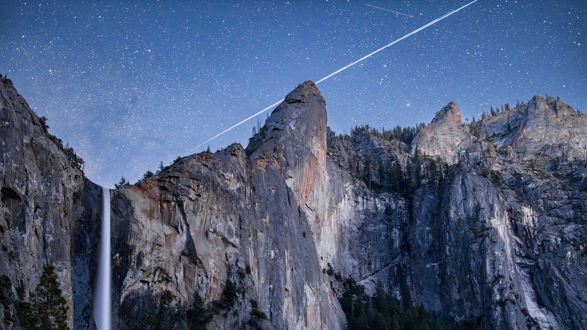
Yosemite Falls

Sight·Yosemite National ParkRecommended by 3 publications
Yosemite Falls
Photo: Wikimedia Commons
“Yosemite Falls is the highest waterfall in Yosemite National Park, dropping a total of 2,425 feet (739 m) from the top of the upper fall to the base of the lower fall. Located in the Sierra Nevada of California, it is a major attraction in the park, especially in late spring when the water flow is…”
Wikipedia
Read more on Wikipedia →

In the coverage3 stories

OutsideJun 17

We Tracked Down the 50 Best Waterfall Hikes in America—One in Every State

Free-hanging waterfalls, thundering cascades, and rapids hemmed in brilliant moss: No matter what you're looking for, you can find it in a state near you.

Fifth tallest waterfall in the world at 2,425 feet.

25 things in this story
  • Yosemite FallsSightFifth tallest waterfall in the world at 2,425 feet.
  • Yosemite Falls TrailTrail7.2-mile trail to the upper falls.
  • Elsewhere
  • Horsetail FallsSightValdez, United StatesA 300-foot braided wonder tumbling down a verdant hillside.
  • Kent FallsSightKent, United StatesConnecticut's tallest waterfall at 250 feet, multi-stepped beauty.
  • Continental FallsSightBreckenridge, United States225-foot roaring, multi-tier cascade flanked by spruce trees.
  • Keystone Canyon Pack TrailTrailValdez, United StatesTrail to Horsetail Falls with mountain and river valley views.
  • Hemmed-In Hollow TrailTrailJasper, United StatesChallenging hike to a towering waterfall tucked into a hollow.
  • Buffalo National RiverSightJasper, United StatesLeisurely float option to reach Hemmed-In Hollow Falls.
  • Red and Yellow trailsTrailKent, United StatesRoutes to the falls featuring steep terrain.
  • Spruce Creek TrailTrailBreckenridge, United StatesLeads to the base of Continental Falls.
  • Mohawk Lakes TrailTrailBreckenridge, United StatesContinues past Continental Falls to six additional alpine lakes.
  • Alapocas RunTrailWilmington, United StatesOffers low falls and unique rock faces along a mixed-surface path.
  • Brandywine CreekSightWilmington, United StatesCreek offering low falls and unique rock faces.
  • Falling Waters SinkSightChipley, United StatesA creek plummets 73 feet into a sinkhole.
  • Wiregrass TrailTrailChipley, United StatesEasy, looping stroll to Falling Waters Sink.
  • Panther Creek FallsSightClayton, United StatesPicturesque falls with a swimming hole at the bottom.
  • Pipiwai TrailTrailHana, United StatesHike through bamboo forest to Waimoku Falls.
  • Makahiku FallsSightHana, United StatesAn appetizer cascade just a half-mile from the Pipiwai Trailhead.
  • Shoshone FallsSightTwin Falls, United StatesImpressively broad, 212-foot cascade surging with snowmelt.
  • Canyon Rim TrailTrailTwin Falls, United StatesLesser-used trail to hike to the bottom of Shoshone Falls.
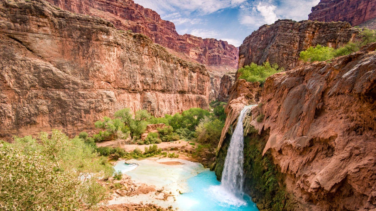
  • Havasu FallsViewpointSupai, United StatesStunning blue-green cascade just above the Grand Canyon floor.
  • Havasupai TrailTrailSupai, United States10-mile one-way trek to reach the falls and campground.
  • Wildcat Canyon WaterfallSightUtica, United StatesThe crown jewel of Starved Rock State Park's gorges.
  • Clifty FallsSightMadison, United States
  • Little CliftySightMadison, United States
Read the full piece at Outside →

Smithsonian MagazineMay 15

These 15 Breathtaking Photos of Yosemite National Park Will Have You Planning Your Next Vacation to the Great Outdoors

The park’s picturesque peaks, wonderful waterfalls and towering trees aren’t just photo opportunities; they’re visual poetry. And they’re just some of the reasons to love Yosemite

5 sights in this story
  • Half DomeSightIt is a well-known rock formation in the park, named for its distinct shape.
  • El CapitanSightThe granite monolith is about 3,000 feet (914 m) from base to summit along its tallest face and is a world-famous…
  • Glacier PointSightstate of California.
  • Yosemite FallsSightLocated in the Sierra Nevada of California, it is a major attraction in the park, especially in late spring when the…
  • Merced RiverSightIt flows from the Sierra Nevada into the San Joaquin Valley and is best known for its steep course through the southern…
Read the full piece at Smithsonian Magazine →

National GeographicFeb 4

Everything you should know about Yosemite National Park

Our expert guide will help you make the most of your visit to this epic California park, home to El Capitan and Half Dome. One of Yosemite National Park’s must-see natural attractions, Yosemite Falls ...

Highest waterfall in North America, plunges 2,425 feet.

25 things in this story
  • Half DomeSightSummit offers panoramic views; 16-mile return hike from valley.
  • El CapitanSightFamed vertical face for climbing, views from the north rim.
  • Glacier PointSightAccessible by car, offers panoramic views of Yosemite Valley.
  • Yosemite FallsSightHighest waterfall in North America, plunges 2,425 feet.
  • Curry VillageNeighborhoodOffers cabins, tent cabins, rooms, pool, restaurant, and ice rink.
  • John Muir TrailTrail211-mile journey through the High Sierra to Mount Whitney.
  • Badger PassSightWinter sports area for skiing, snowboarding, and snowshoeing.
  • Sentinel DomeSightOffers vertiginous views from the valley's south rim.
  • Taft PointSightGreat place to watch climbers on El Capitan's vertical face.
  • North DomeSightViews from the north rim require a steep uphill hike.
  • Wawona TunnelSightExiting offers a striking first view of Yosemite Valley.
  • Inspiration PointSightShort trail from Wawona Tunnel for better, less crowded views.
  • Olmsted PointSightGlimpse down Tenaya Canyon to the backside of Half Dome.
  • Lower Yosemite Fall TrailTrailEasy 1-mile walk to the base of the falls.
  • Bridalveil Fall TrailTrailEasy 0.5-mile upgraded route to Bridalveil Fall.
  • Mirror LakeSight2-mile route, reflects Half Dome.
  • Parsons Lodge & Soda Springs TrailTrailEasy 1.4-mile walk across Tuolumne Meadow.
  • Grizzly Giant LoopTrail2-mile loop in Mariposa Grove of giant sequoias.
  • Pacific Crest TrailTrailShares path with JMT for much of its length.
  • Tuolumne MeadowsNeighborhoodHigh country 'Times Square' with visitor center and trails.
  • Hetch HetchySightRemote canyon, now a lake, provides water for San Francisco.
  • Crane FlatSightArea near the western border, gateway to Tuolumne Grove.
  • Four Mile TrailTrail14-mile hike with elevation gains to Glacier Point.
  • Panorama TrailTrailHike down from Glacier Point, part of a 14-mile day.
  • May LakeSightShort 2.4-mile hike off Tioga Road in the high country.
Read the full piece at National Geographic →
↑↓ to navigate · Enter to open · Esc to close