Mutitjulu

Neighborhood·Uluṟu-Kata Tjuṯa National ParkMentioned by National Geographic
Mutitjulu
Photo: Wikimedia Commons
“Mutitjulu is an Aboriginal Australian community in the Northern Territory of Australia located at the eastern end of Uluṟu. It is named after a knee-shaped water-filled rock hole at the base of Uluṟu, and is located in the Uluṟu-Kata Tjuṯa National Park. Its people are traditional owners and joint…”
Wikipedia
Read more on Wikipedia →

In the coverage1 story

National GeographicAug 11

This new Walk in Australia's Red Centre Lets Travelers Sleep in the Shadow of Uluru

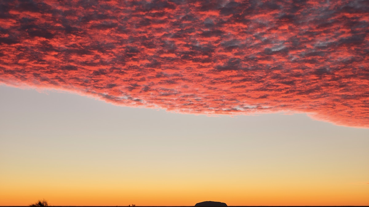
Seen from 30 miles away, Uluru appears no more than a hiccup on the flat horizon: as small as a termite mound, with the redness of freshly fired clay. Our group treads towards it in the morning light.

Aboriginal village set just beneath the rock Uluru

4 things in this story
  • Uluru Kakararra TrailTrail34-mile walking route across the desert, culminating at Uluru
  • UluruSightAustralia's most famous landmark, appears as a hiccup on the horizon
  • Kata TjutaSightrock formation known as 'many heads', more intricate than Uluru
  • MutitjuluNeighborhoodAboriginal village set just beneath the rock Uluru
Read the full piece at National Geographic →
↑↓ to navigate · Enter to open · Esc to close